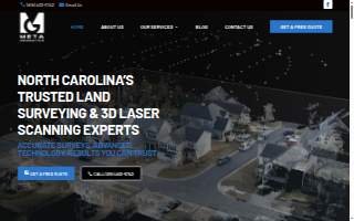
Meta Geomatics PLLC of Cary
BizScore
Contact Information
-
Address
7314 Self Storage Rd, Cary, NC -
Phone
(919) 402-6742 -
Website
metageomatics.com
Location
About Meta Geomatics PLLC of Cary
Meta Geomatics PLLC of Cary is a Surveyor in Cary, NC. The firm provides comprehensive land‑surveying and geospatial services for residential and commercial clients. Offerings include boundary and topographic surveys, real‑estate due‑diligence documentation, subdivision and lot‑recombination plans, ALTA/NSPS‑compliant surveys, and professional 3D laser scanning with reality‑capture technology. With more than ten years of experience, Meta Geomatics serves property owners and developers throughout Apex, Wake County, Chatham County, the greater Research Triangle, Holly Springs, Cary, and Fuquay‑Varina, and it holds a 4.90 rating from its customers.
The company blends licensed professional land‑surveying expertise with advanced geospatial tools. Every field engagement is performed under the direct supervision of a licensed Professional Land Surveyor and utilizes survey‑grade GPS/GNSS equipment, robotic total stations, and LiDAR‑based 3D laser scanners. Data are delivered as CAD‑ready boundary plats, georeferenced PDFs, point clouds, and Revit‑compatible BIM models, allowing immediate use in design and construction workflows. Meta Geomatics emphasizes clear, plain‑language communication, rapid project timelines, and a thorough understanding of local permitting processes, Wake County GIS standards, and North Carolina Department of Transportation right‑of‑way procedures. Most clients receive a detailed quote within 24 hours.
By pairing precise, millimeter‑accurate technology with deep local knowledge, Meta Geomatics PLLC stands out as a reliable surveying partner for the Cary community and the surrounding Triangle area.